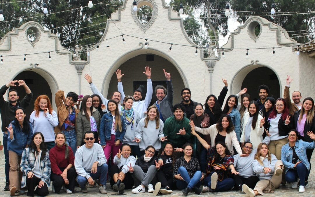
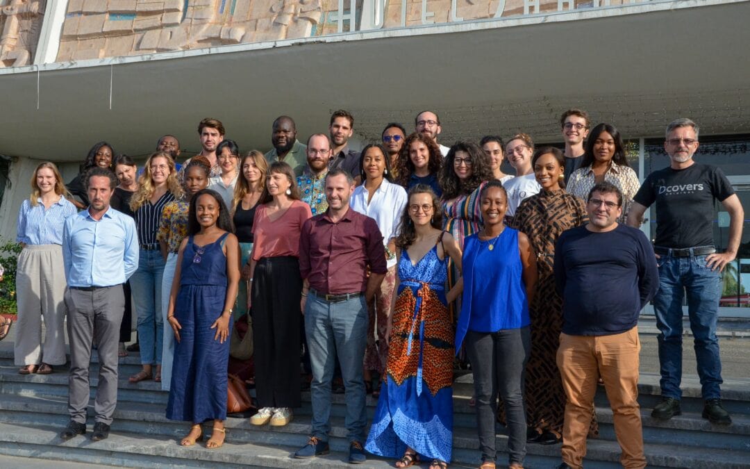
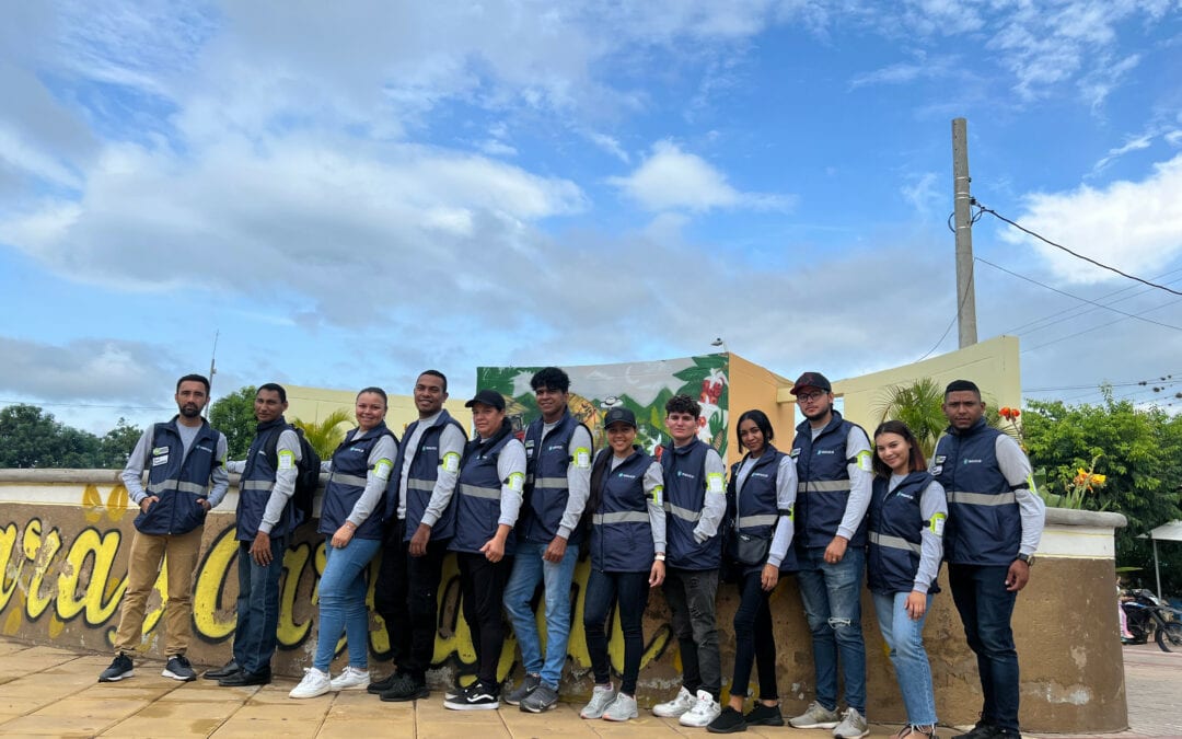
As part of the Communal Landscape Management Project for REDD+ (PGPC/REDD+) implemented by Burkina Faso and financed by the World Bank, Insuco has been selected to conduct a land diagnosis and participatory diagnostic and planning (PDP) work within the conservation areas of the 30 project intervention communes. The PDP aims to (i) understand the institutional and legal land context; (ii) describe local practices in natural resource management and how local stakeholders envision them; (iii) identify, at each site, the types of relevant development and investments to act on the enhancement and preservation of each conservation area.
The method identified by the World Bank and the coordination unit of the PGPC/REDD+ is the participatory planning method developed by Dr. Patrick d’Aquino from the UR Green of CIRAD (Centre for International Agricultural Research and Development) called TerriStories®[1].
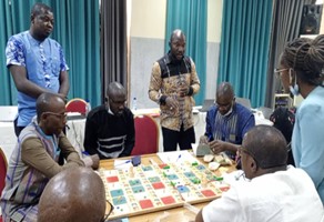
This is a participatory simulation tool aimed at facilitating collective management of natural resources and territories in Southern countries. It consists of a specific game board, an adaptation know-how to different contexts, and a method of animation and training for the implementation of the game. It takes place on four game boards representing conservation areas on which the selected stakeholders share during a communal workshop. These stakeholders should represent the heterogeneity of managers and users of these conservation areas, and are distributed in about ten per board, with this arrangement being maximized:
- 1 youth board;
- 3 village boards, each board works on a geographical area representing the selected conservation area chosen with the influential village actors of said area.
The TerriStories® workshop is organized over three days:
- The first day is dedicated to getting acquainted with the tool and collecting information on the major issues at the commune level and the targeted resource areas;
- On the second day, participants grouped around each board develop proposals at the selected sites. Each board synthesizes its proposals on a participatory map at the site scale by the end of the day;
- On the third day, participants present, in plenary, the development and investment proposals site by site, based on participatory maps at the scale of the targeted conservation areas. A collective debriefing is carried out to gather feedback and clarify proposals.
“Opportunities or threats” are prompted by the facilitators throughout the workshops. They play an “event” that triggers collective debates on the major issues of the territory. Some are already created in the form of event sheets. However, others are built by the animation team following the pre-diagnosis according to the specific issues of each commune and the selected sites. To prompt debates, these “events” are presented in a theatrical manner.
To address the issue of land tenure security, “land policy” rules and security papers are provided. They allow participants to use either traditional rules or instruments proposed by the land reform (rural land tenure) to secure the proposals made.
[1] The game concept and game board entitled TERRISTORIES® are protected by copyright and are the subject of a technical dossier of secret know-how. Furthermore, the TERRISTORIES® trademark is a registered trademark with the INPI owned by CIRAD and is the subject of promotional activities by CIRAD.


