News
GIS capacity building at Insuco Guinea

As part of our field surveys (inventories and socio-economic studies), our national experts use GIS (Geographic Information System) tools. Using geolocation applications, they geo-reference the structures impacted by the projects and measure the agricultural land to be compensated. This allows our cartographers to produce GIS databases and maps that are ultimately used to compensate the people affected by the projects.
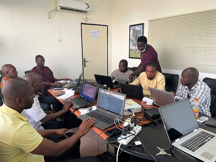
On 10 December 2021, Francis Ehemba, Insuco’s cartographer in Guinea, led a one-day skills-building workshop for 7 of our national experts. The programme included a presentation of the SWMaps software, data integration and visualisation, creation, export and processing of information. The team tested the software in real life, with a practical session in the streets of Conakry.
The training was followed by a lunch with the permanent Insuco team in Guinea, allowing a time of friendly exchange and sharing between colleagues and experts.


